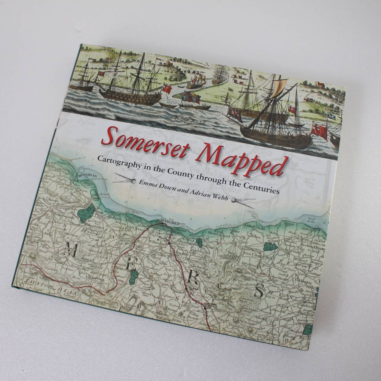
Somerset Mapped: Cartography in the County Through the Centuries ISBN: 9780857042873
Original price was: £42.95.£34.36Current price is: £34.36.
Used – Like New
Out of stock
Description
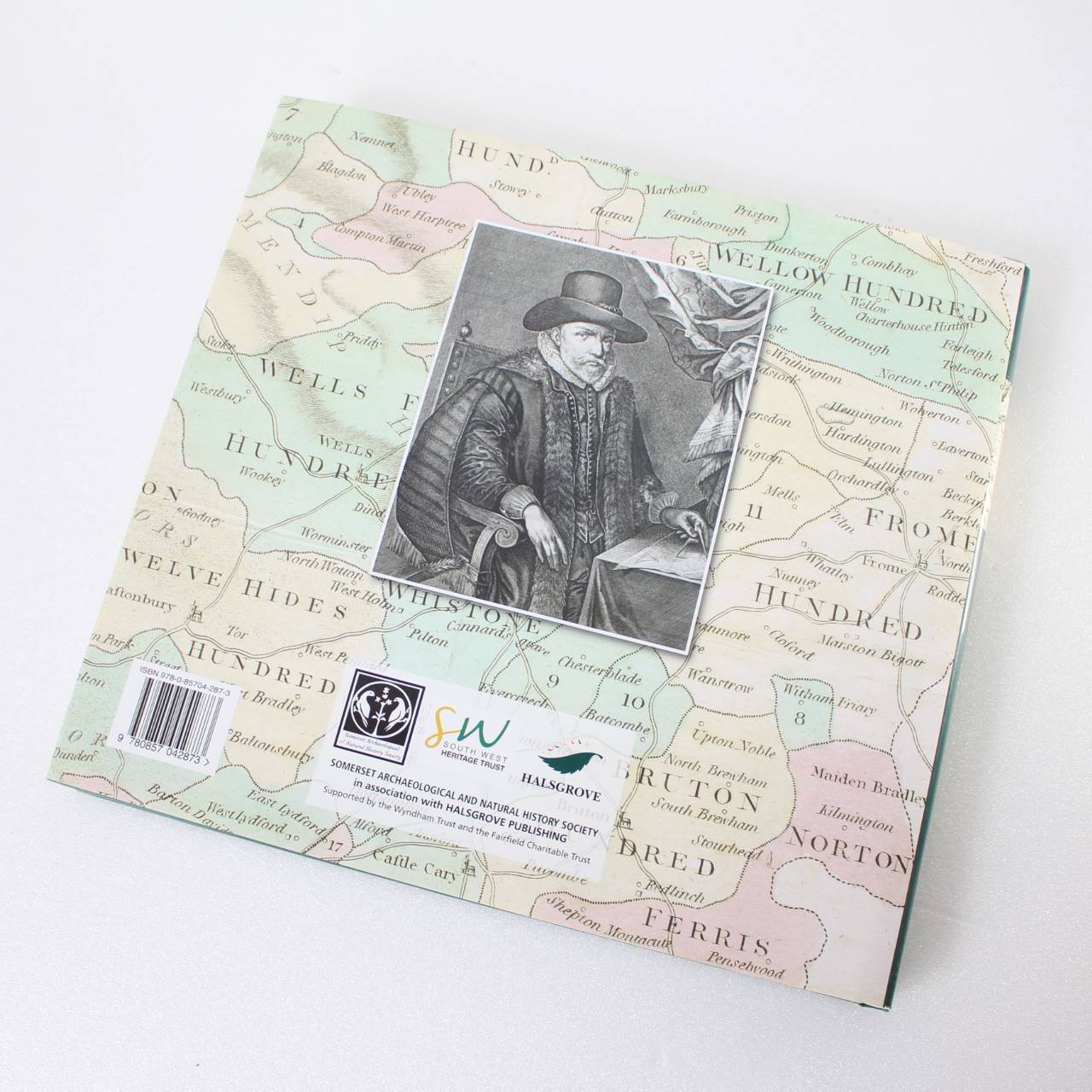
Immediate dispatch from Somerset. Book in excellent unread/unused condition. See images. Fantastic book.
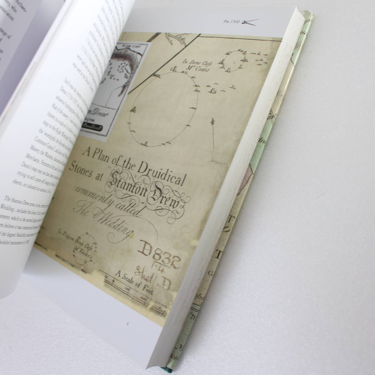
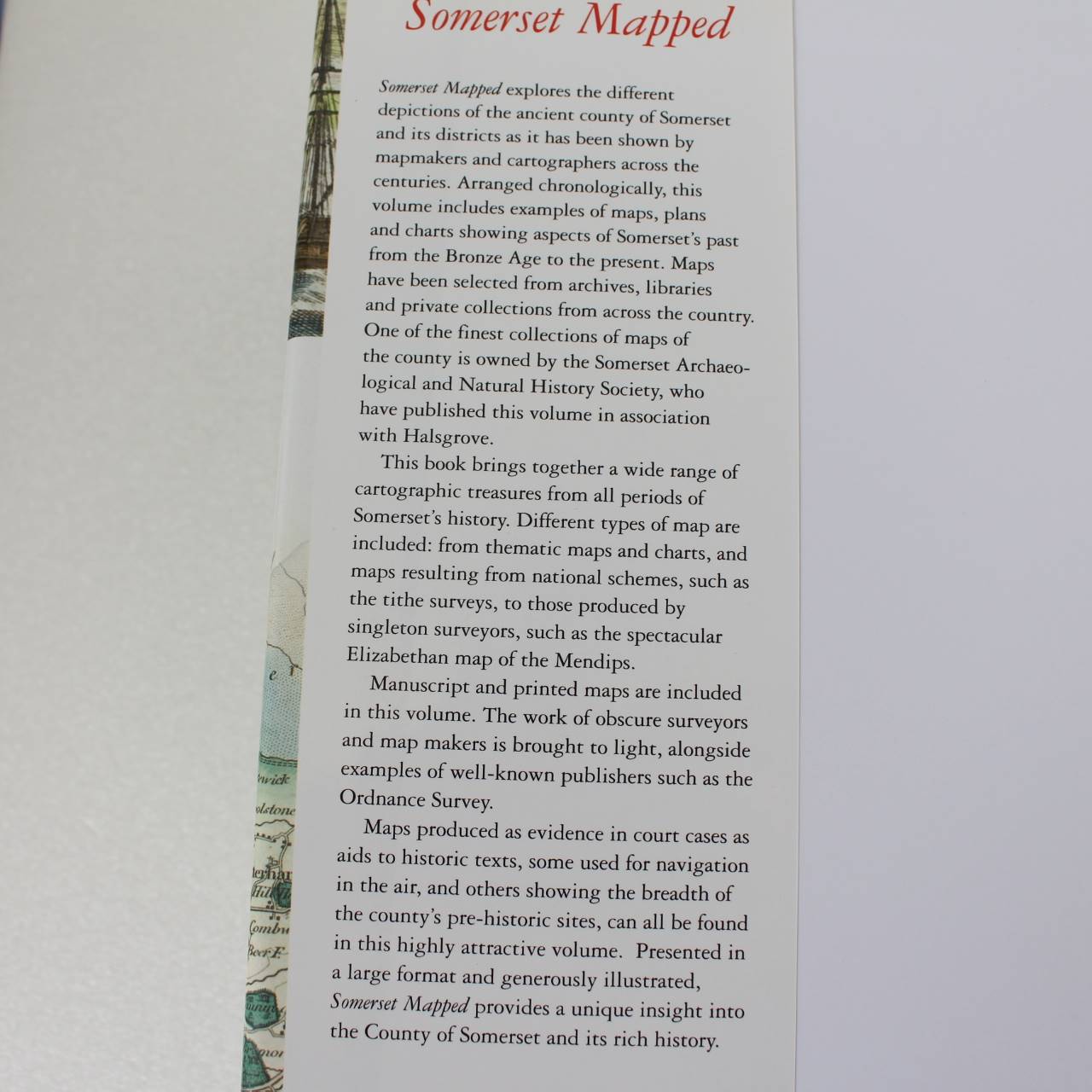
About the book >.>.> Arranged chronologically this volume includes examples of maps plans and charts showing aspects of Somerset’s past from the Bronze Age to the present. Maps have been selected from archives libraries and private collections from across the country. One of the finest collections of maps of the county is owned by the Somerset Archaeo- logical and Natural History Society who have published this volume in association with Halsgrove. This book brings together a wide range of cartographic treasures from all periods of Somerset’s history. Different types of included: from thematic maps and charts and map are maps resulting from national schemes such as the tithe surveys to those produced by singleton surveyors such as the spectacular Elizabethan map of the Mendips. Manuscript and printed maps are included in this volume. The work of obscure surveyors and map makers is brought to light alongside examples of well-known publishers such as the Ordnance Survey. Maps produced as evidence in court cases as aids to historic texts some used for navigation in the air and others showing the breadth of the county’s pre-historic sites can all be found in this highly attractive volume. Presented in a large format and generously illustrated Somerset Mapped provides a unique insight into the County of Somerset and its rich history.
Additional information
| ISBN | 9780857042873 |
|---|---|
| Format | Hardcover |
| Publisher | Halsgrove Publishing |
| Book author | Adrian Webb |
| Condition | Used – Like New |



Reviews
There are no reviews yet.