7143L: Carte Marine Officielle Abords des Iles de Houat et de Ho?dic book by Hydrographique et Oc?anographique de la Marine Nautical Chart ISBN: 3518081771438
Original price was: £19.95.£15.96Current price is: £15.96.
Used – Very Good
1 in stock
Description
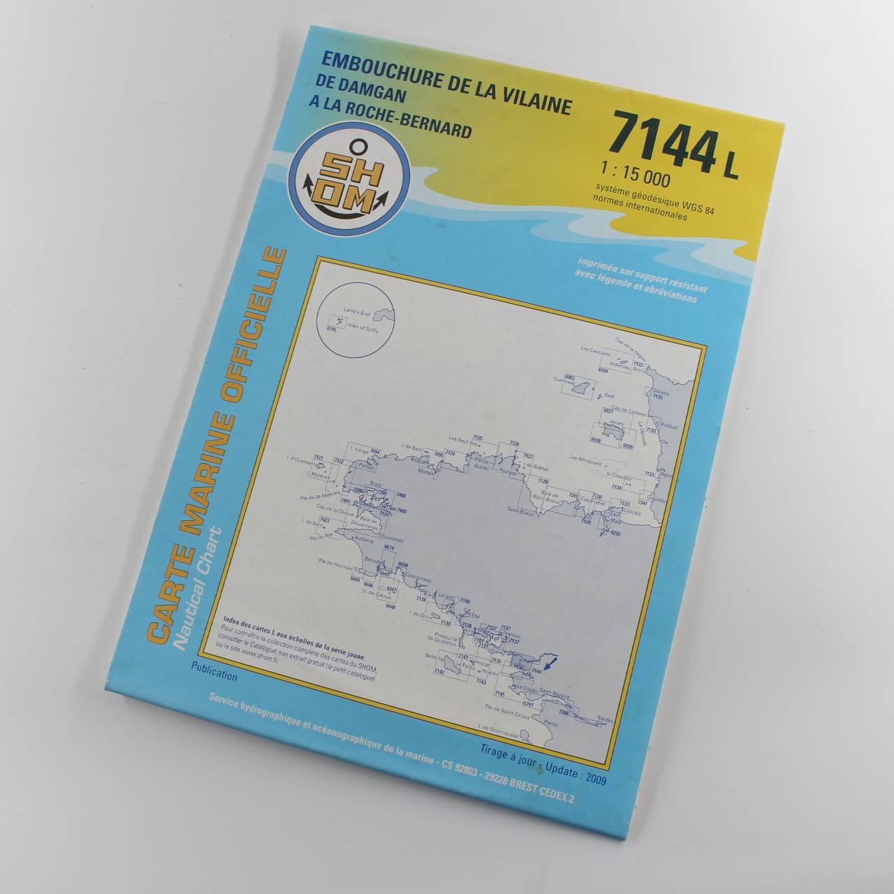
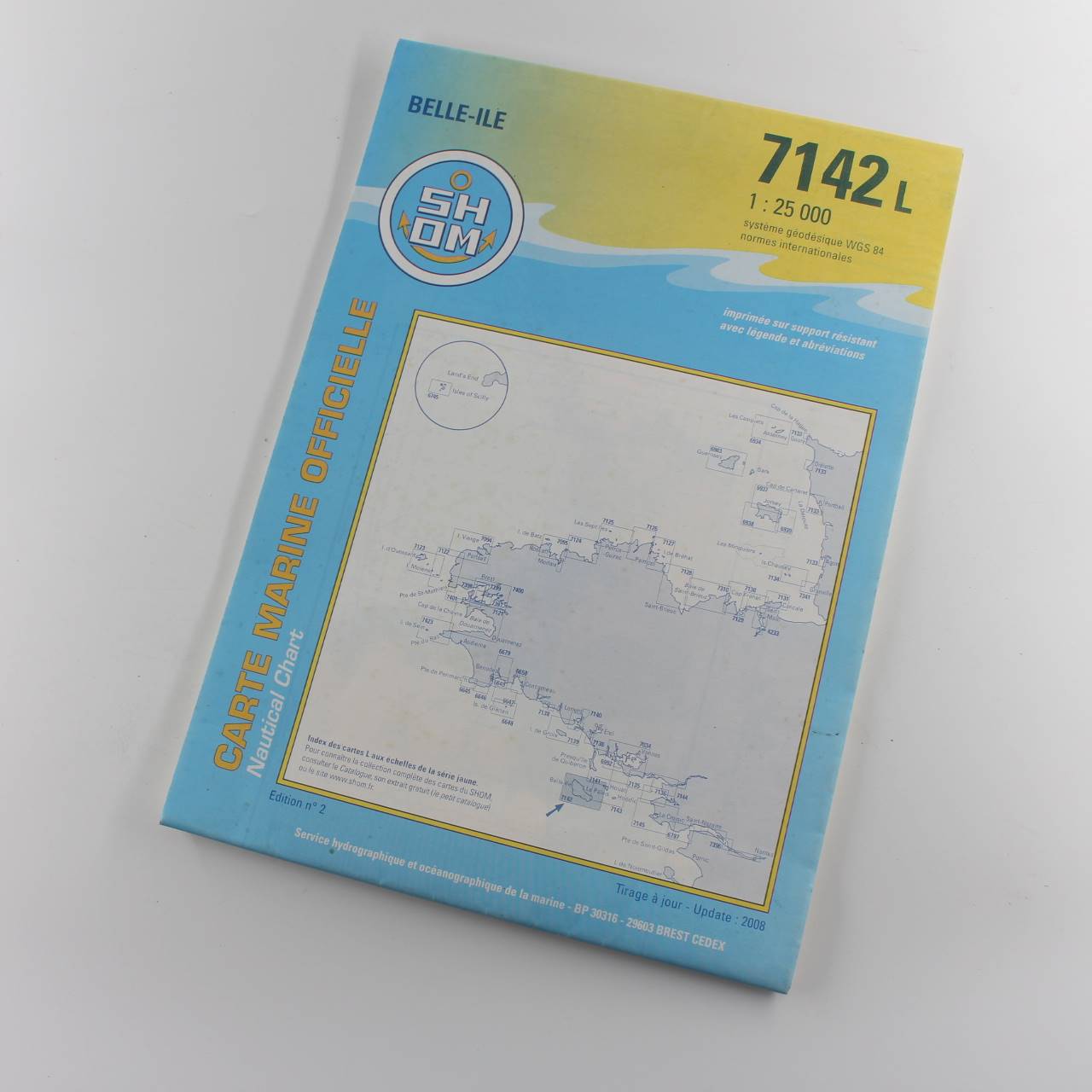
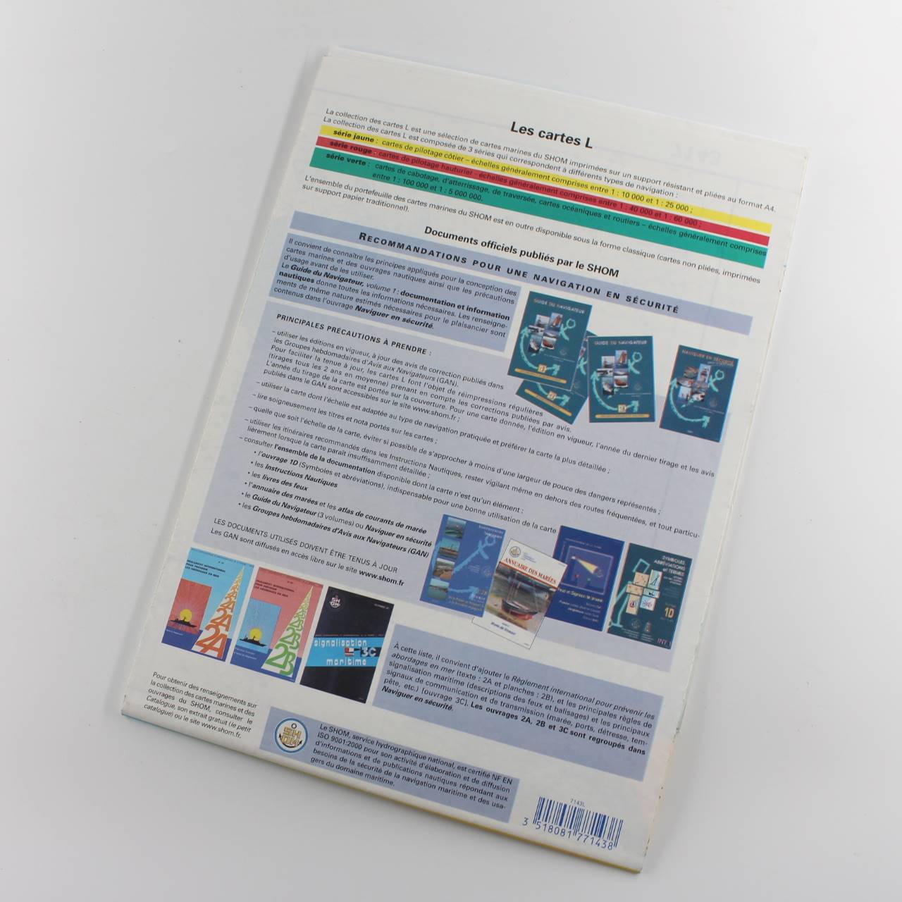
Immediate dispatch from Somerset. Chart in great condition condition. See images.
About the book >.>.> Carte Marine Officielle charts are official nautical charts used for navigation at sea. These charts are essential tools for mariners providing detailed and accurate information about coastal and offshore areas. They include vital details such as water depths coastlines and shorelines and navigation hazards like rocks reefs and wrecks. Additionally they mark aids to navigation such as buoys and lighthouses and offer data on tides and currents which can affect navigation. Port and harbour details are also provided giving specific information on ports harbours and anchorages. Produced and maintained by national hydrographic offices such as the UK Hydrographic Office (UKHO) or France’s Service Hydrographique et Oc?anographique de la Marine (SHOM) these charts meet international standards and are regularly updated. They are crucial for safe and efficient maritime travel helping to prevent accidents and ensuring vessels can navigate through waters accurately and confidently. (LL)
Additional information
| ISBN | 3518081771438 |
|---|---|
| Format | Softcover |
| Publisher | Hydrographique et Oc?anographique de la Marine |
| Book author | Hydrographique et Oc?anographique de la Marine |
| Condition | Used – Very Good |


Reviews
There are no reviews yet.