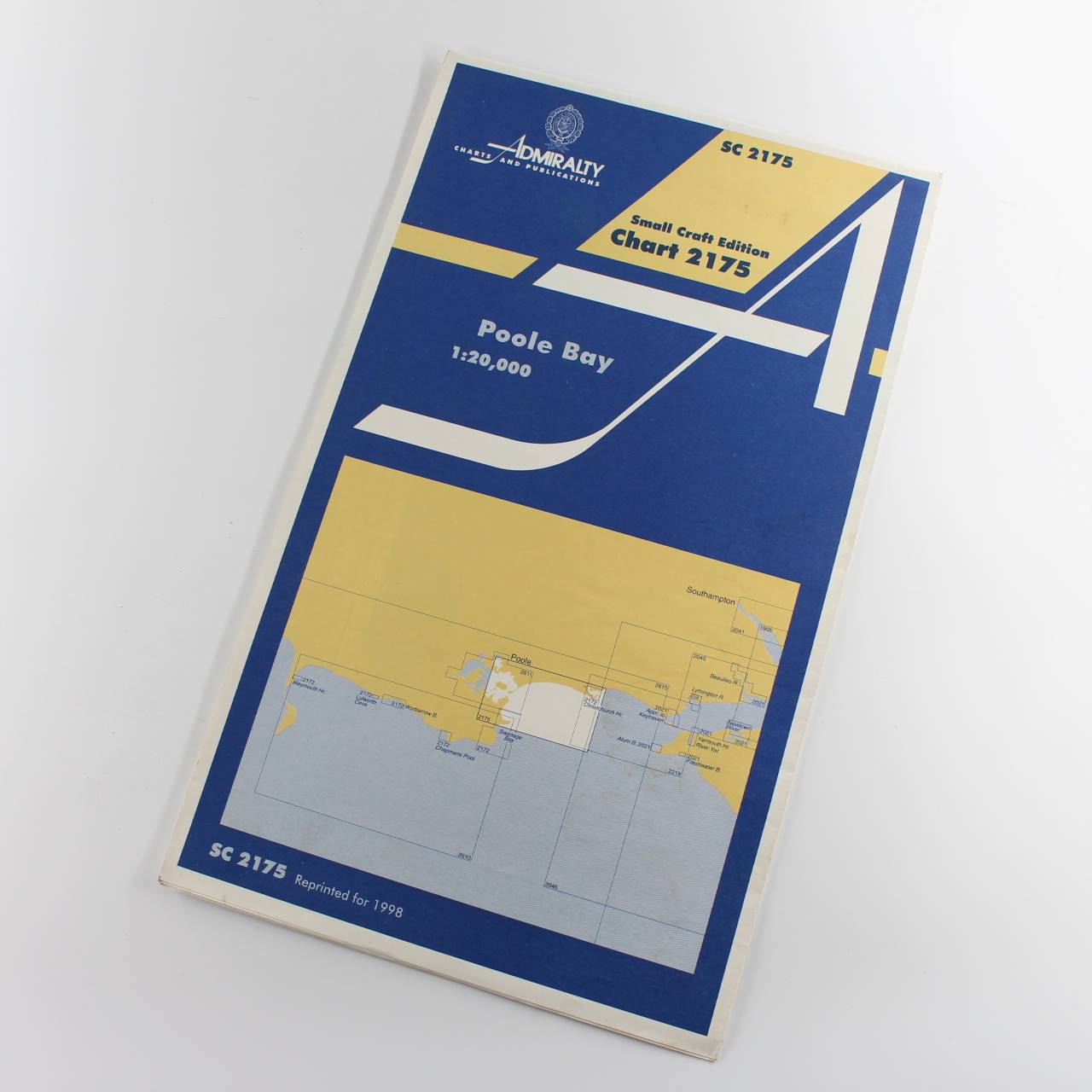
Nautical Chart Small Craft Edition Poole Bay SC2175 book by Admiralty Publications ISBN:
Original price was: £19.95.£15.96Current price is: £15.96.
Used – Good
1 in stock
Description
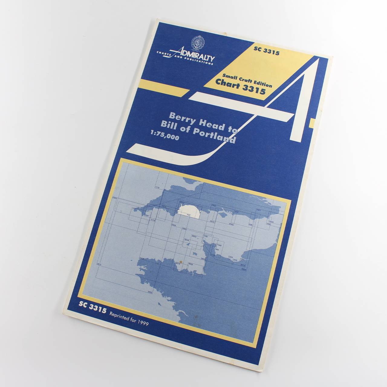
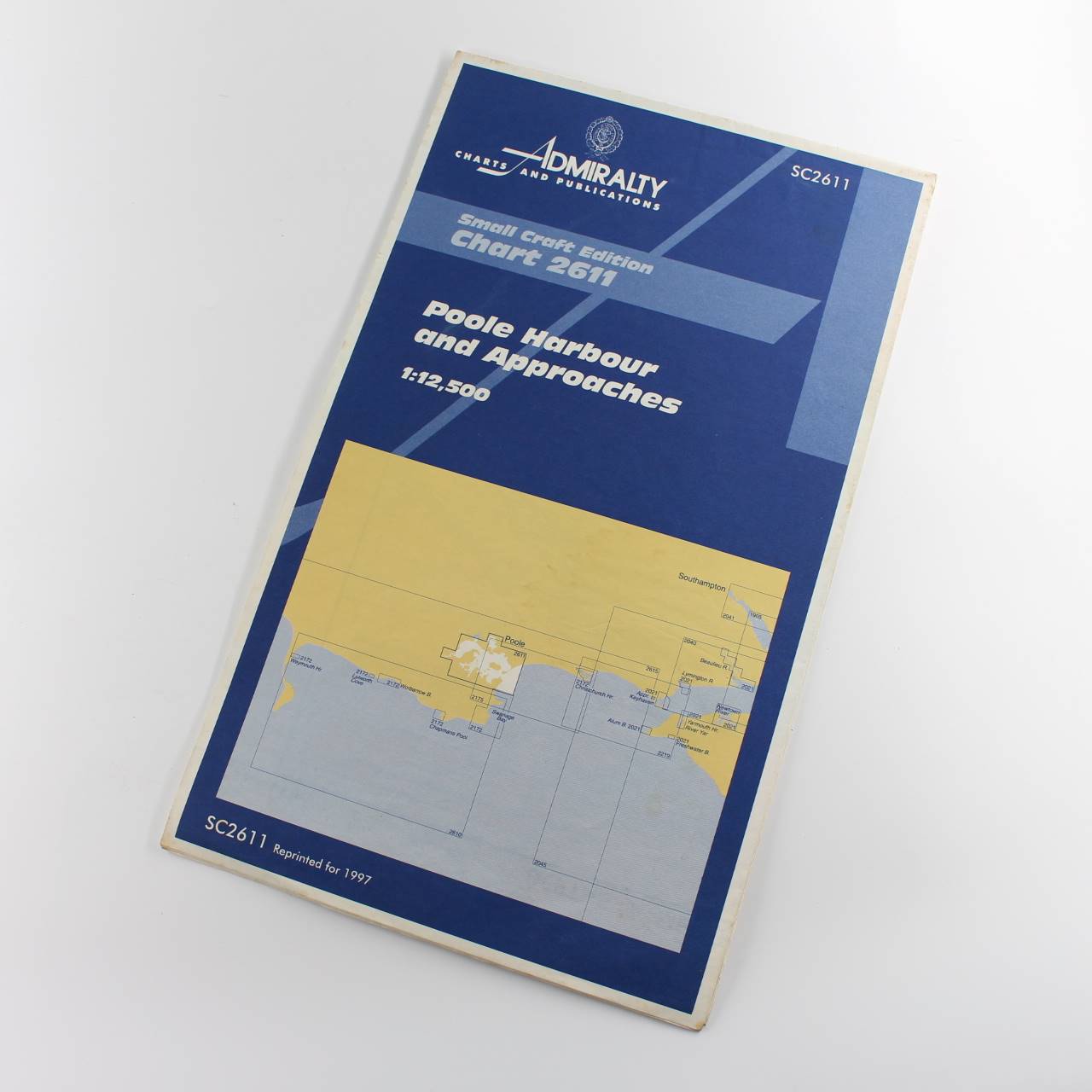
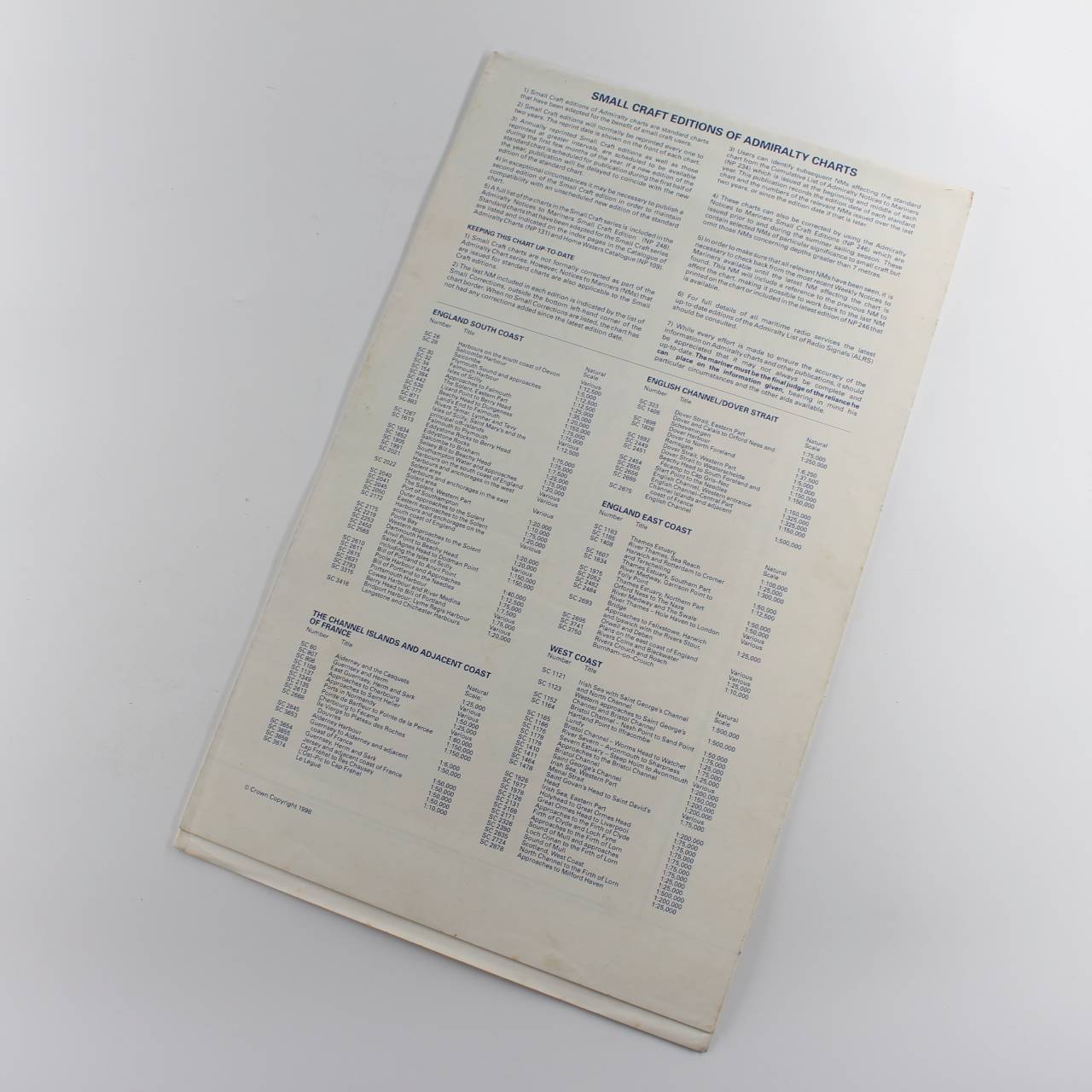
Immediate dispatch from Somerset. Chart in good condition condition. See images.
About the book >.>.> Admiralty charts are nautical charts produced by the United Kingdom Hydrographic Office (UKHO) highly regarded worldwide for their accuracy and detail and essential for safe maritime navigation. These charts provide comprehensive information including depths and tidal information details on navigational hazards such as rocks and wrecks and aids to navigation like lighthouses buoys and beacons. They also depict coastal and underwater topography showing the coastline and significant seabed features as well as maritime boundaries and restricted areas indicating international boundaries and shipping routes. Admiralty charts come in various scales to cater to different navigational needs from large-scale charts for port entry and coastal navigation to smaller-scale charts for open ocean voyages. Regular updates ensure they reflect the latest hydrographic surveys and changes in maritime conditions. (LL)
Additional information
| ISBN | |
|---|---|
| Format | Softcover |
| Publisher | Admiralty Publications |
| Book author | Admiralty Publications |
| Condition | Used – Good |


Reviews
There are no reviews yet.