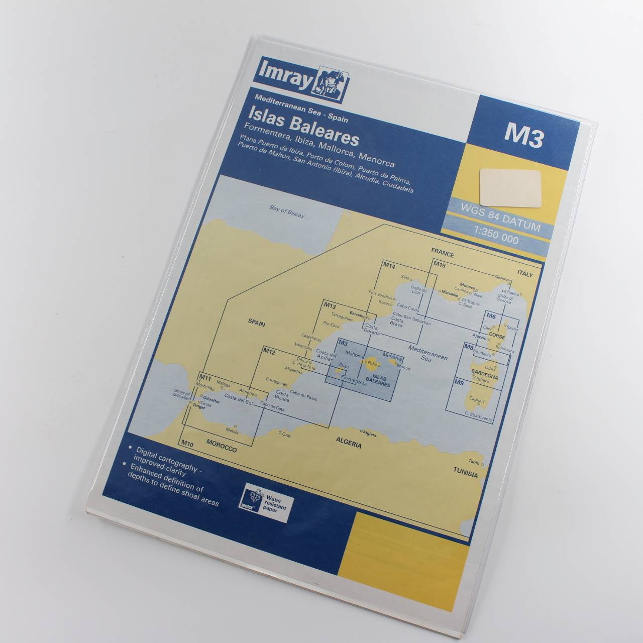
Imray Chart M3: The Baleares book by Imray ISBN: 9780852889428
Original price was: £19.95.£15.96Current price is: £15.96.
Used – Like New
Out of stock
Description
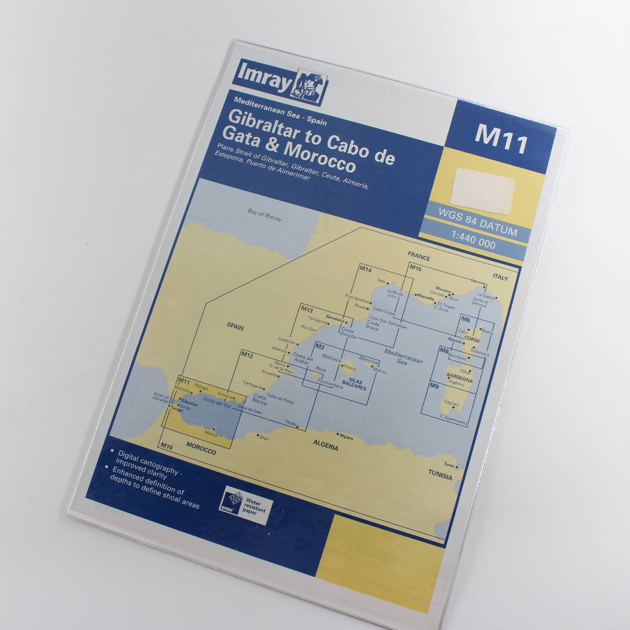
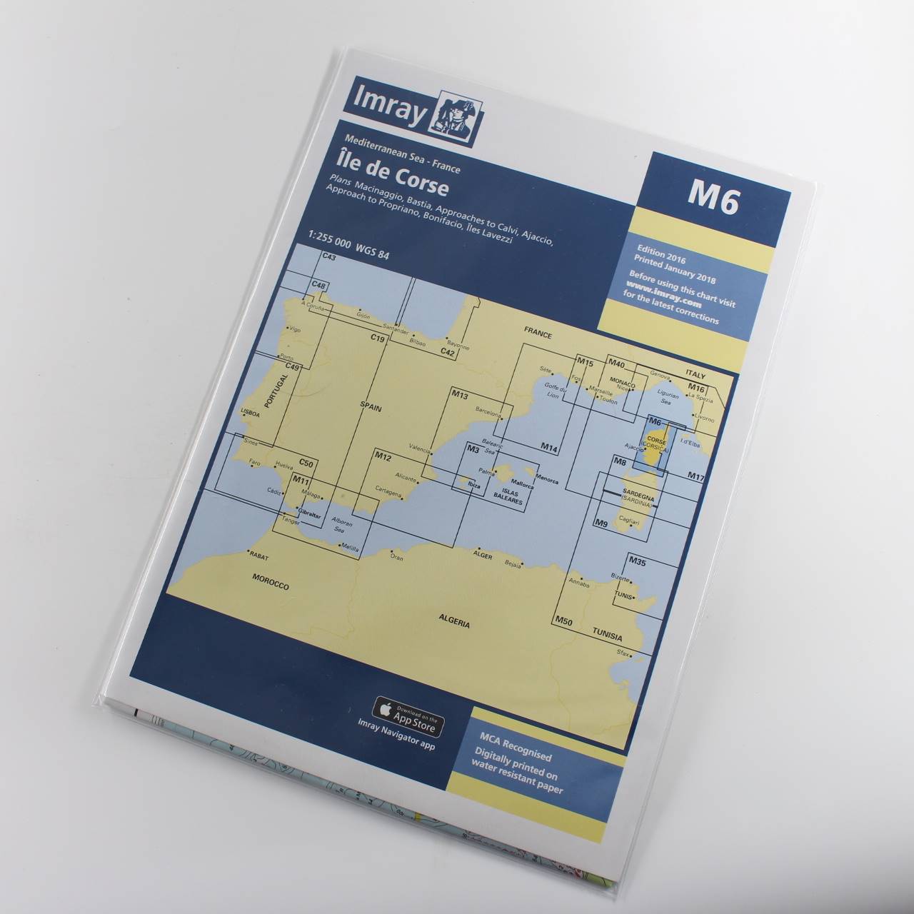
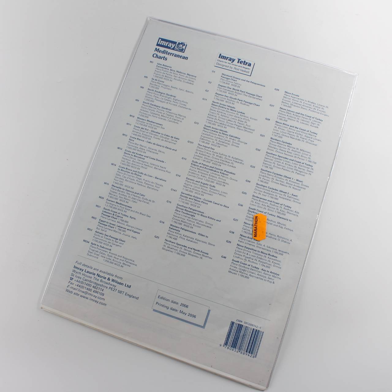
Immediate dispatch from Somerset. Chart in excellent /unused condition. See images.
About the book >.>.> Imray charts are specialised nautical charts extensively used by sailors yachtsmen and maritime professionals. Produced by Imray Laurie Norie & Wilson Ltd. a renowned British publisher these charts are well-regarded for their detail accuracy and user-friendly design. They are particularly popular for navigating coastal waters and offshore routes. Imray charts cover a wide range of popular sailing areas around the world with a strong focus on Europe the Mediterranean and the Caribbean. They provide comprehensive information on coastal features navigational hazards depths and tidal information often including details such as marina facilities anchorages and waypoints. Available in both traditional paper formats and digital versions compatible with electronic navigation systems the paper charts are typically printed on durable material suitable for marine environments. Imray ensures their charts are regularly updated to reflect the latest navigational information and changes in coastal features ensuring safety and accuracy for mariners. In addition to charts Imray publishes cruising guides that offer in-depth information about sailing routes harbour facilities and local attractions enhancing the overall sailing experience. Overall Imray charts are valued for their clarity and practical design helping mariners plan voyages and navigate safely whether on short coastal trips or extended offshore passages. (LL)
Additional information
| ISBN | 9780852889428 |
|---|---|
| Format | Softcover |
| Publisher | Imray Laurie Norie & Wilson |
| Book author | Imray |
| Condition | Used – Like New |


Reviews
There are no reviews yet.