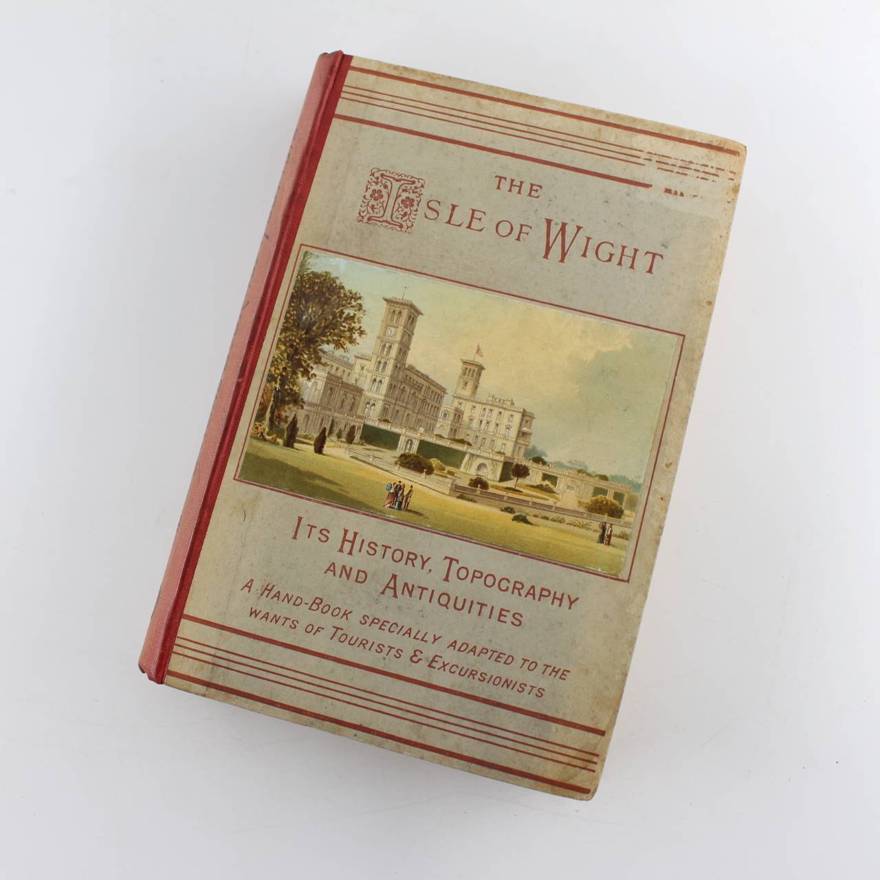
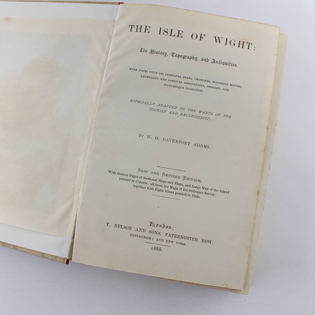
The Isle of Wight Its history Topography and Antiquities book by W H Davenport Adams ISBN:
Original price was: £34.55.£29.37Current price is: £29.37.
Used – Good
Out of stock
Description
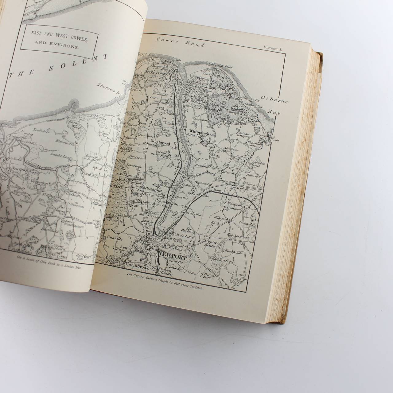
Immediate dispatch from Somerset. Nice older book in good condition. Pages in good condition. Some light tanning and marking due to age. No notes or highlighting. See images. Fantastic book.
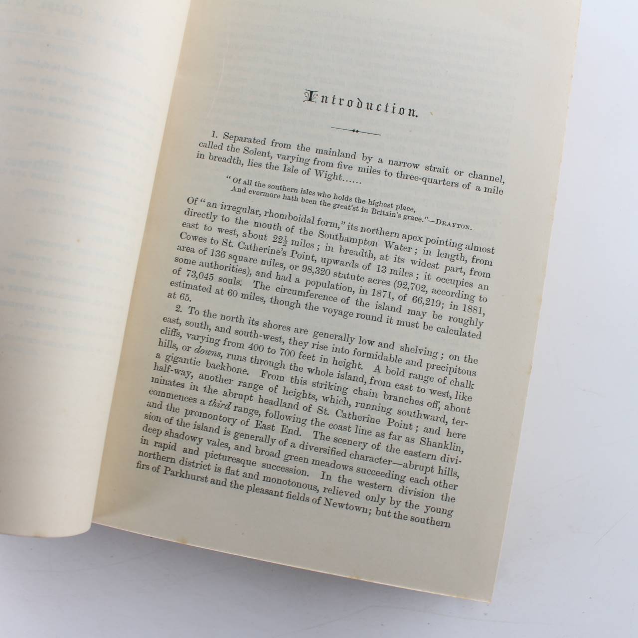
About the book >.>.> Of “an irregular rhomboidal form” its northern apex pointing almost directly to the mouth of the Southampton Water; in length from east to west about 22 miles; in breadth at its widest part from Cowes to St. Catherine’s Point upwards of 13 miles; it occupies an area of 136 square miles or 98320 statute acres (92702 according to some authorities) and had a population in 1871 of 66219; in 1881 of 73045 souls. The circumference of the island may be roughly estimated at 60 miles though the voyage round it must be calculated at 65. To the north its shores are generally low and shelving; on the east south and south-west they rise into formidable and precipitous cliffs varying from 400 to 700 feet in height. A bold range of chalk hills or downs runs through the whole island from east to west like a gigantic backbone. From this striking chain branches off about half-way another range of heights which running southward ter- minates in the abrupt headland of St. Catherine Point; and here commences a third range following the coast line as far as Shanklin and the promontory of East End. The scenery of the eastern divi- sion of the island is generally of a diversified character-abrupt hills deep shadowy vales and broad green meadows succeeding each other in rapid and picturesque succession. In the western division the northern district is flat and monotonous relieved only by the young firs of Parkhurst and the pleasant fields of Newtown. (SP)
Additional information
| ISBN | |
|---|---|
| Format | Hardcover |
| Publisher | T Nelson and Sons 1888 |
| Book author | W H Davenport Adams |
| Condition | Used – Good |



Reviews
There are no reviews yet.